
Days Bay – Baring Head

Experience a lovely, relaxed walk or ride to Eastbourne and on to Burdan’s Gate, where you will follow the wild coastline along a gravel track to the Baring Head Lighthouse and back via the Pencarrow Lighthouse. Start this route at Days Bay. Finish it back at Days Bay, Burdan’s Gate, or in Eastbourne.
There is no public access between Lake Kohangatera and Parangarahu Lakes and Baring Head/Ōrua-pouanui (Fitzroy Bay) without permission from the two private landowners. If you require access, please contact the Park Ranger at least one week prior to your ride. Clearly state the size of your group, date of your ride, contact phone number, and if you are on hired or private bikes.
Route Map
Distance: 38km return
🚲 Average cycling time: 2-3 hours
Surface: footpaths, some on-road cycling, gravel track
The ride from Burdan’s Gate to Baring Head is along a very exposed coastline and is very hard work in strong winds.

Route Sections

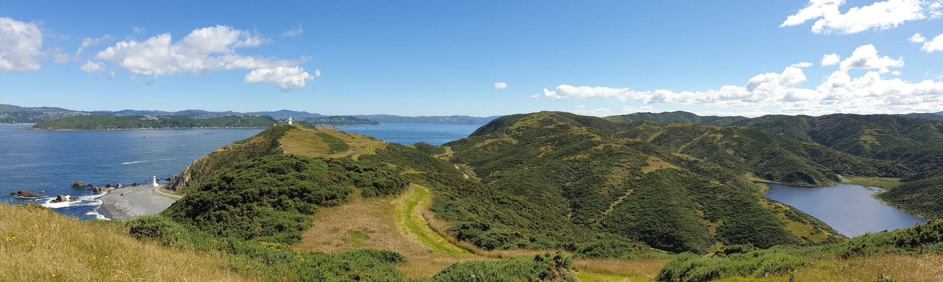
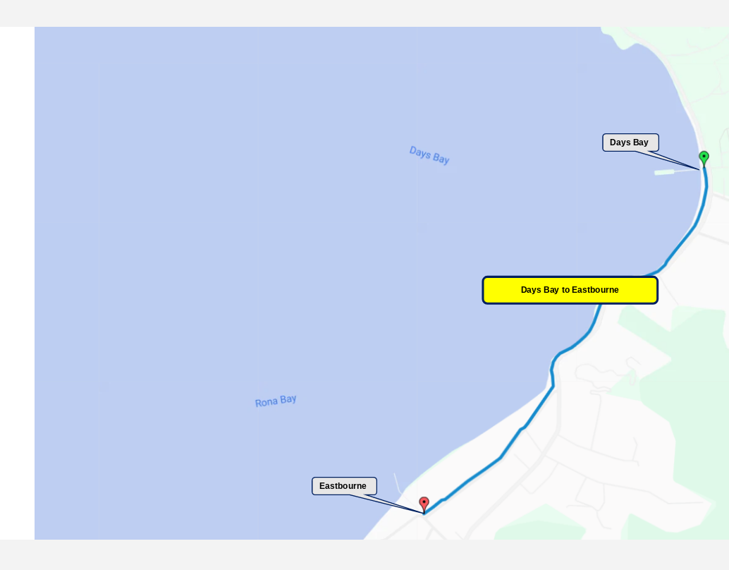
Days Bay to Eastbourne is a nice short, easy walk. Just after Days Bay, it picks up the short section of the Tupua Horo Nuku path. At the start of Marine Parade, cyclists must use the road. Enjoy a visit to one of Eastbourne’s cafes or ice cream shops.
Distance: 1½ km
🚶 Average walking time: 30 minutes
🚲 Average cycling time: 10-15 minutes
Surface: shared path, footpath, on-road cycling
🚌 Bus to Days Bay / Eastbourne
Ferry to Days Bay
☕ Cafes at Days Bay and Eastbourne
🚻 Toilet and water facilities at Days Bay and Eastbourne
Cafes
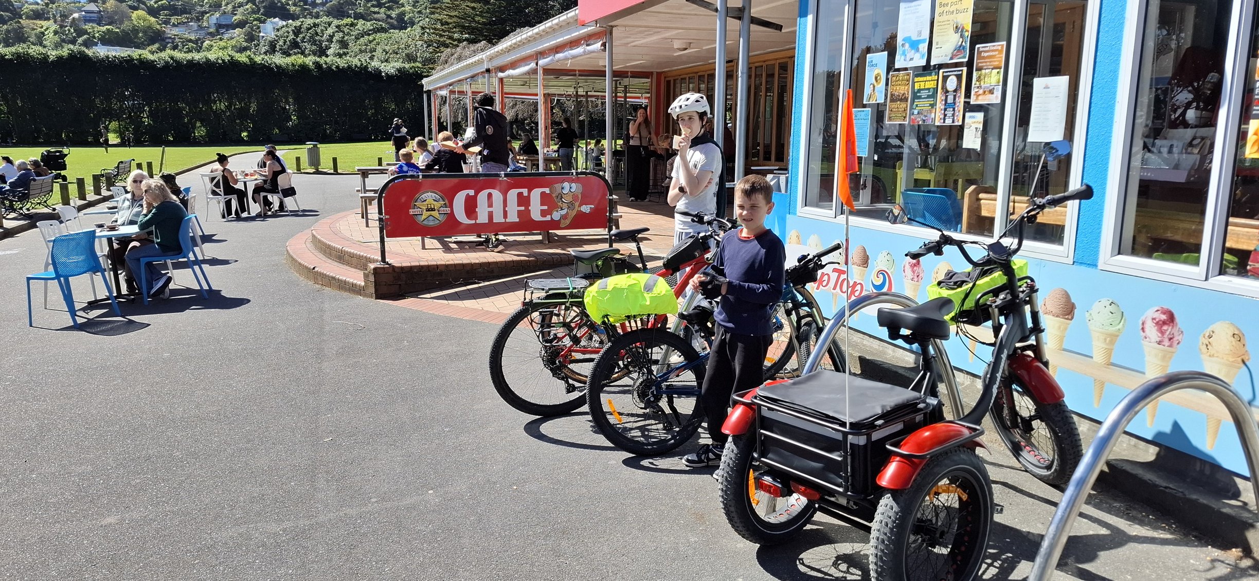
Days Bay Pavilion
611b Marine Drive, Days Bay
Google rating: 4.4
Price per person: $20-30
Hours: 8am-8pm Mon-Fri (9am-8am Sat-Sun)
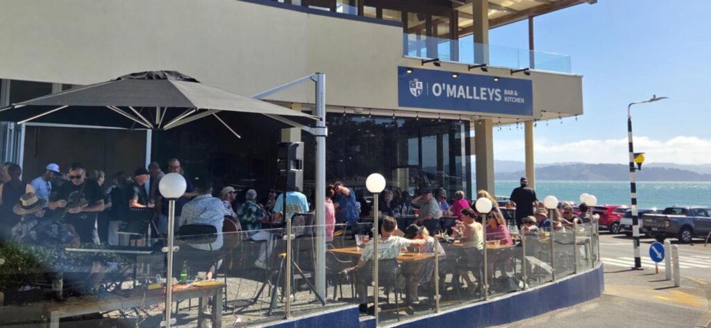
O’Malleys Bar & Kitchen
612 Marine Drive, Days Bay
Google rating: 4.7
Price per person: $30-$40
Hours: 10am-12am Wed-Sat (10am-11pm Sun-Tue)
Chocolate Dayz Cafe
614 Marine Drive, Days Bay
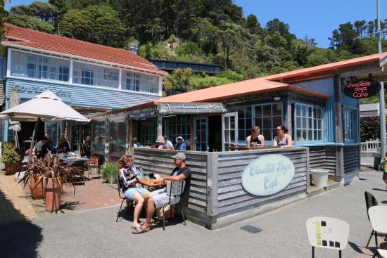
Google rating: 4.3
Price per person:
Hours: 7am-4:30pm Tue-Fri (9am-5pm Sat-Sun)
Hive Cafe
16 Rimu Street, Eastbourne
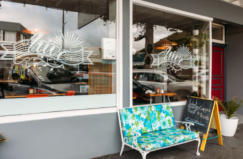
Google rating: 4.3
Price per person: $20-$30
Hours: 8am-2pm Mon-Sat (9am-2pm Sun)
Tartines Cafe
Village corner 1, 2 Rimu Street
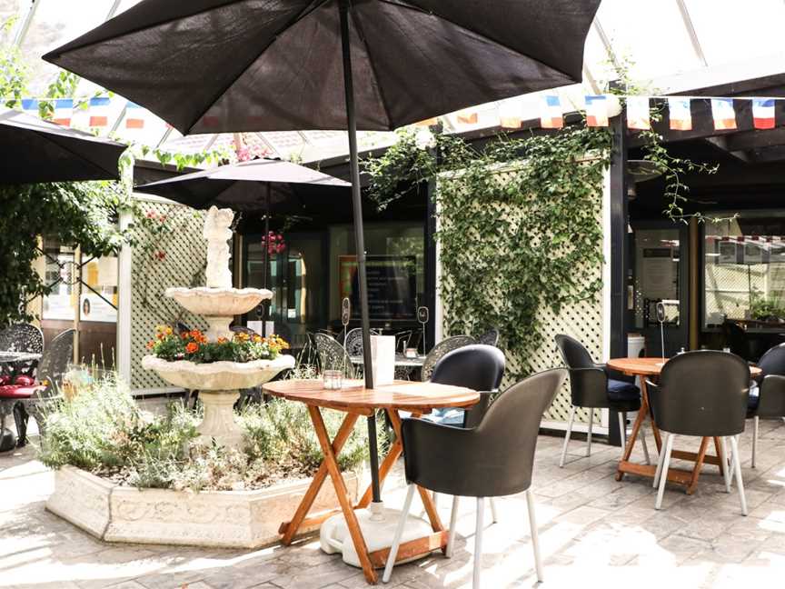
Google rating: 4.5
Price per person: $10-$50
Hours: 7am-3pm Mon-Fri (8am-4pm Sat-Sun)
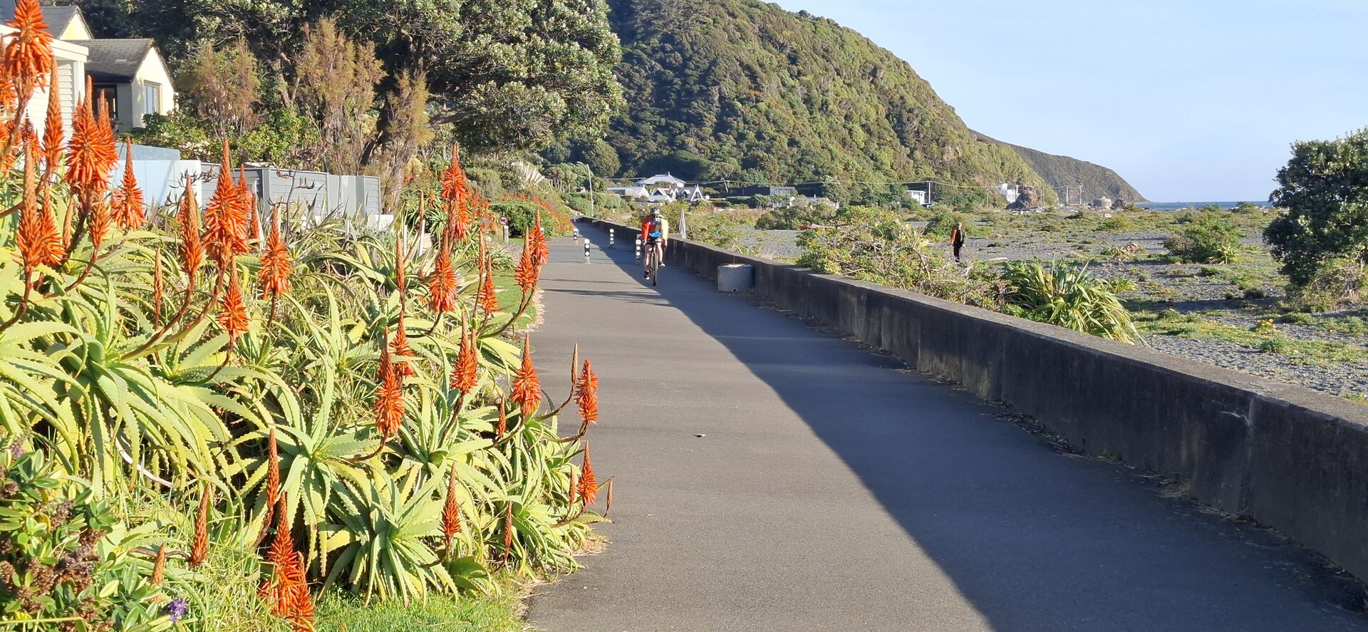
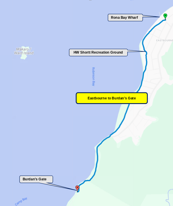
Starting at the Rona Bay Wharf, continue along Eastbourne Marine Parade. Cyclists need to stay on the road. At the HW Short Recreation Ground, it becomes a shared path. After that, it is back to the Marine Parade, which turns into the car-free Promenade shared path. Where the Promenade ends at the Muritai Road, cyclists need to continue on the road till it ends at Burdan’s Gate.
Distance: 3½ km
🚶 Average walking time: 1 hour
🚲 Average cycling time: 30 minutes
Surface: footpaths, shared paths, on-road cycling
🚌 #81 or #83 bus to Eastbourne or Burdan’s Gate
☕ No cafes
🚻 Toilet and water facilities just before Burdan’s Gate
Points of Interest / Services
Rona Bay Wharf
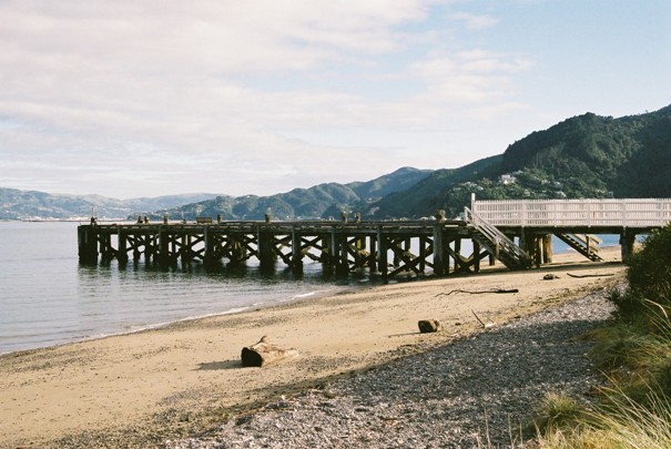
A historic timber wharf, built in 1906 to serve passenger ferries and supply ships. These operations stopped in 1948. Now a popular place for swimming. Next to the Eastbourne outdoor swimming pool and by Rona Beach.
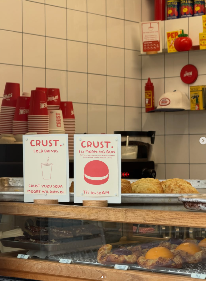
Serving coffee, incredible sandwiches and baked goodies.
48 Tuatoru Street, Eastbourne
Google rating: 4.8
Price per person: $10-$20
Hours: 7am-1pm Thu-Sun
HW Shortt Recreation Ground

Local sports field, playground, public restrooms, and the Eastbourne RSA (Returned Services Association) building.
Wahine Memorial
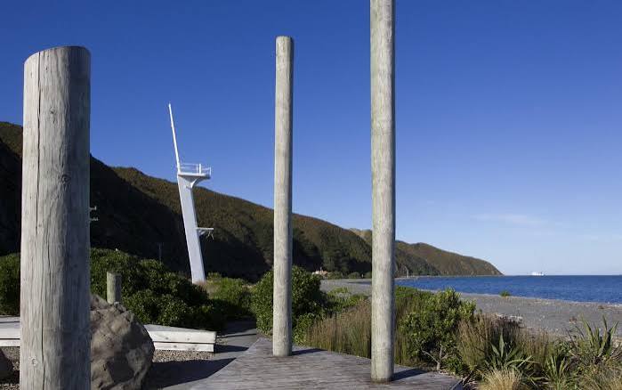
The Wahine Mast Memorial in Eastbourne is a commemorative site honouring the 53 people who lost their lives when the inter-island ferry TEV Wahine capsized on the nearby Barrett Reef on April 10, 1968.
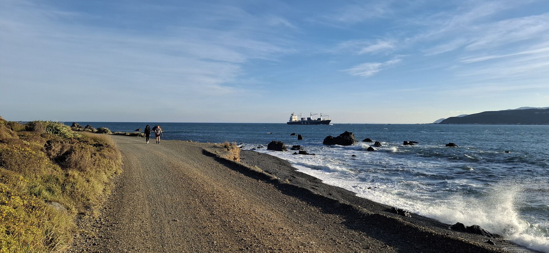
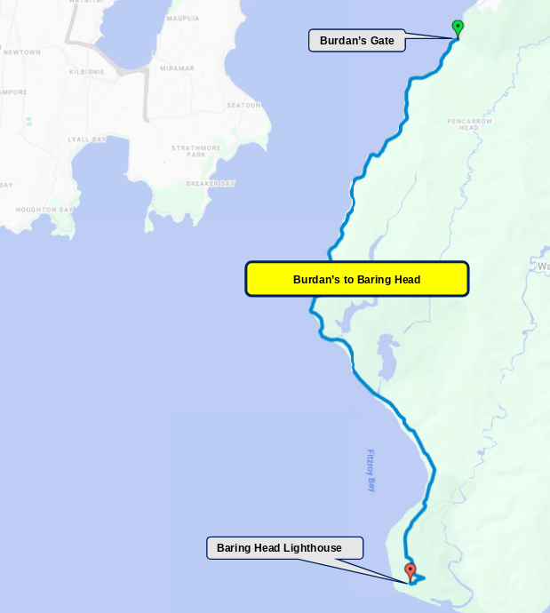
From Burdan’s Gate you will follow the Pencarrow Coast Road gravel path to Pencarrow Head and on to the Baring Head Lighthouse. This is very exposed, so can be a particular challenge for cyclists in strong northerly or southerly winds.
You can take a short side trip from the Baring Head Lighthouse to the World War II gun emplacements, or drop back to the coast and continue south to the Baring Head Boulders, a popular rock-climbing spot.
Distance: 14 km one way
🚲 Average cycling time: 1-1½ hours
Surface: gravel track
🚻 Toilets before Pencarrow Head and at the Baring Head Lighthouse
Check weather forecast. Take sunblock, raincoat/windbreaker, and plenty of water.
Points of Interest
Wreck of the SS Paiaka

The SS Paiaka Wreck is the rusting iron hull of a small 1881 steam launch that washed ashore during a severe storm in Fitzroy Bay along the Pencarrow Coastal Trail.
Lake Kohangatera
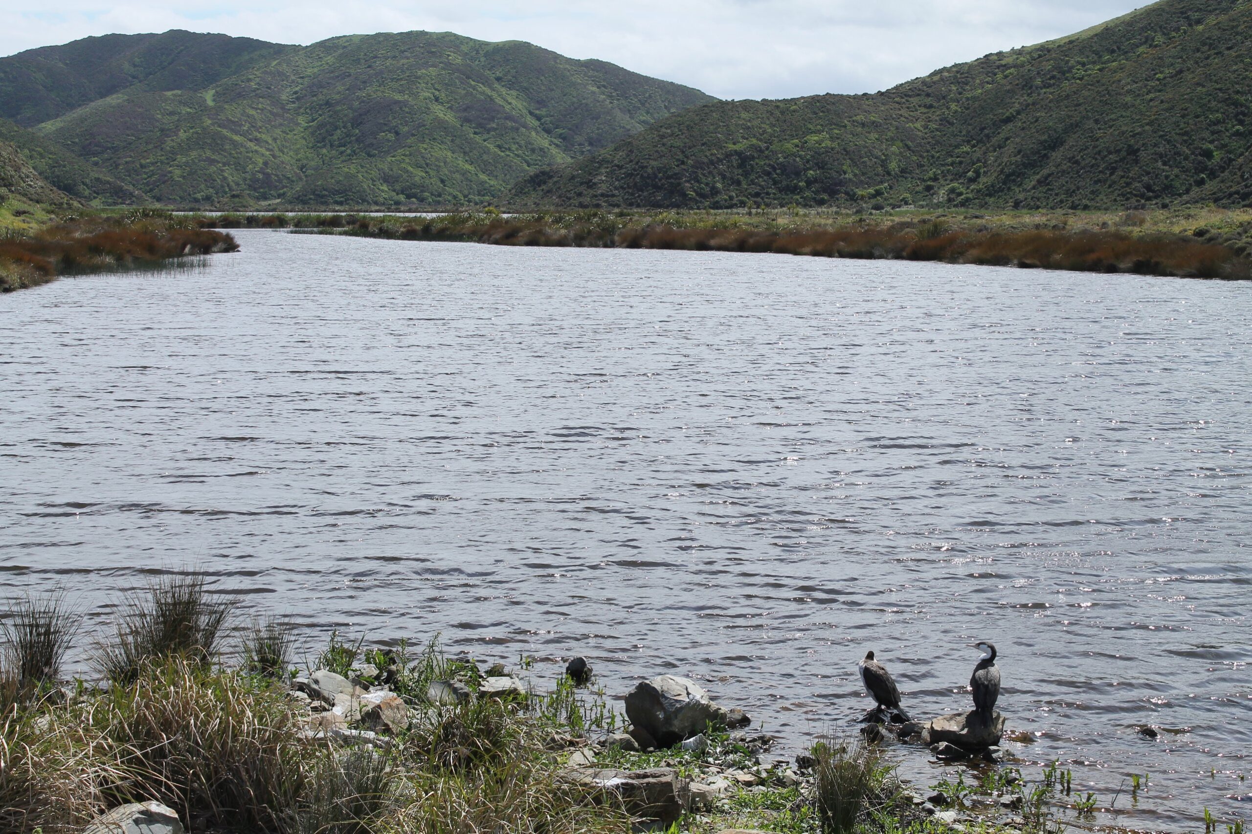
An unspoiled coastal wetland that supports native bird and fish species. Because of its importance to local Iwi, swimming in the lake is not allowed.
Baring Head Lighthouse
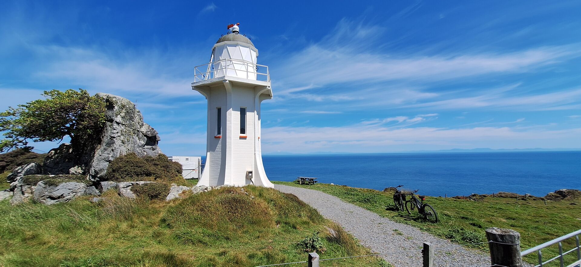
Built in 1935 at the end of the gravel track, the Baring Head Lighthouse stands high above Cook Strait and still guides ships towards Wellington Harbour. There are toilets here, and a short side trip leads to the World War II gun emplacements.
Lightkeeper’s cottages
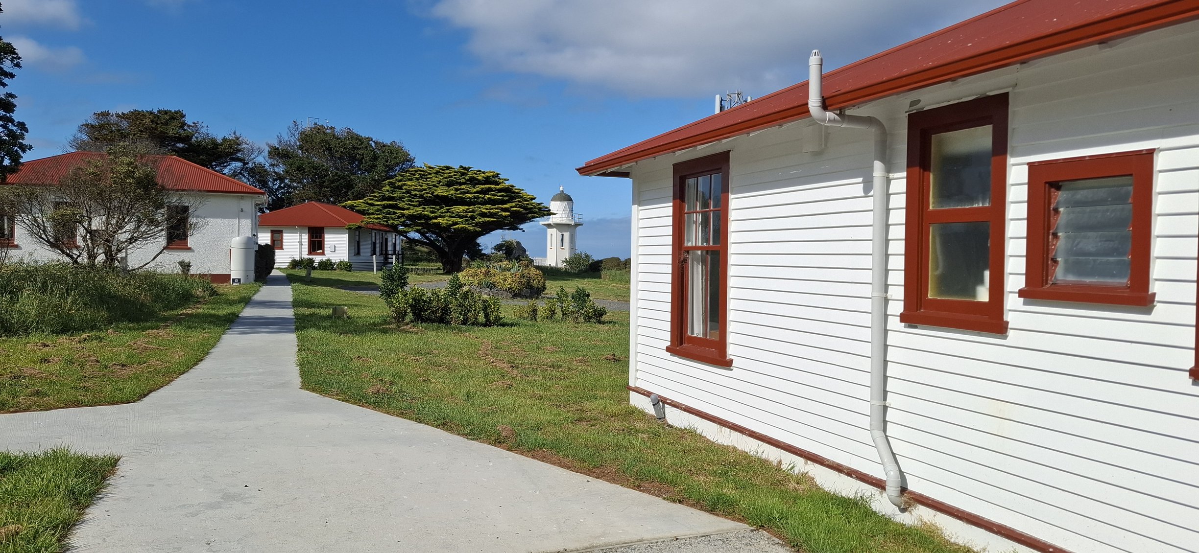
You can stay overnight in one of the two beautifully restored former lightkeeper’s cottages, originally built in 1935. Booking information.
Baring Head Gun Emplacements

Wartime coastal defence remains sit on the hill above the lighthouse, a reminder of Wellington’s World War II harbour defences. The short climb from the lighthouse rewards you with wide views over Cook Strait and back towards the harbour entrance.
Baring Head Boulders

A cluster of boulders on the beach near where the Wainuiomata River meets the sea. They are a well-known climbing spot, often called the birthplace of bouldering in New Zealand, with more than 200 climbing routes listed.

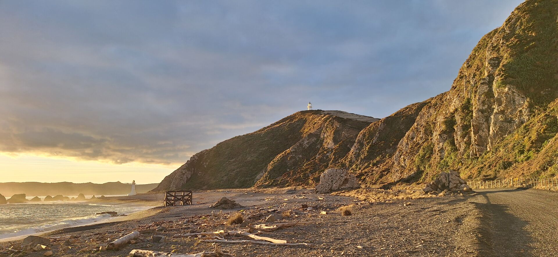
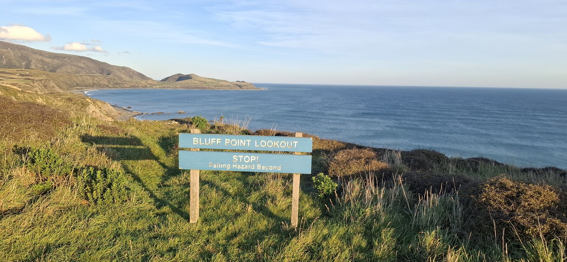
From Baring Head, it is a short distance back to Lake Kohangapiripiri, where you climb up to the Pencarrow Lighthouse. It is highly recommended to make the extra climb up to Bluff Point Lookout for an absolutely fantastic panorama over Lake Kohangapiripiri, the south coast, Pencarrow Lighthouse, and across the harbour.
From there it is back to Burdan’s Gate, Eastbourne and Days Bay. You can put your bike on the bus close to Burdan’s Gate or in Eastbourne.
Distance: 20 km
🚲 Average cycling time: 1-1½ hours
Surface: gravel track, on-road, shared paths
🚻 Toilets after Pencarrow Head, Burdan’s Gate, Eastbourne and at Days Bay
Check weather forecast. Take sunblock, raincoat/windbreaker, and plenty of water.

Points of Interest
Lake Kohangapiripiri
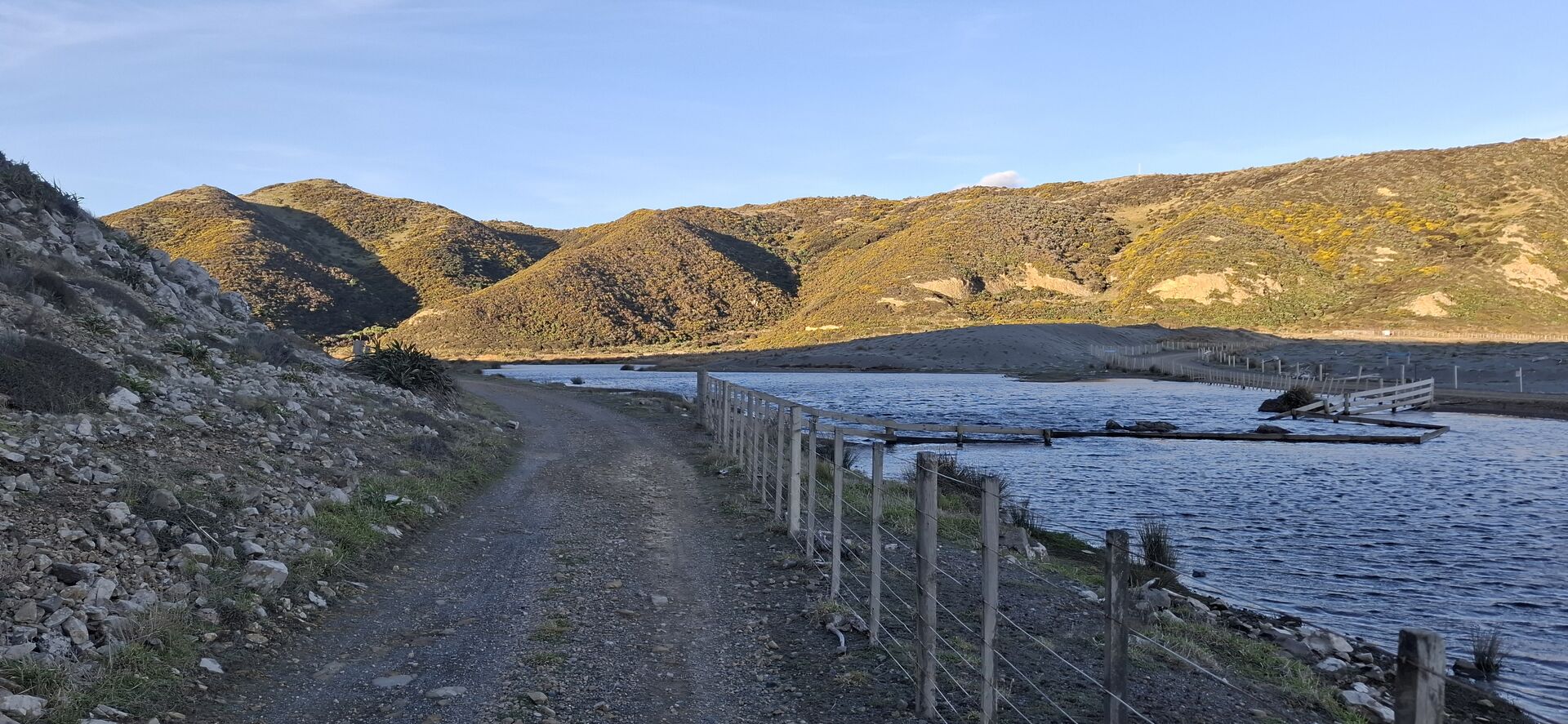
An unspoiled coastal wetland that supports native bird and fish species. Because of its importance to local Iwi, swimming in the lake is not allowed.
Bluff Point Lookout
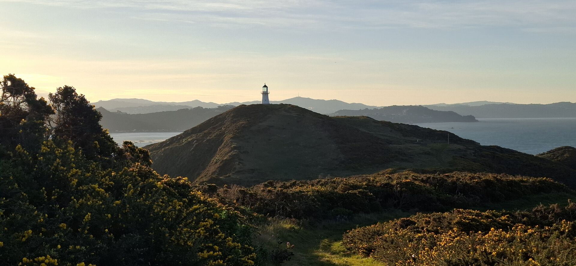
Bluff Point Lookout sits just east and up from the main Pencarrow lighthouse, providing fantastic panoramic views across to the South Coast, the lighthouse, the harbour entrance, and, on clear days, toward the Kaikoura ranges in the South Island.
Pencarrow Lighthouse
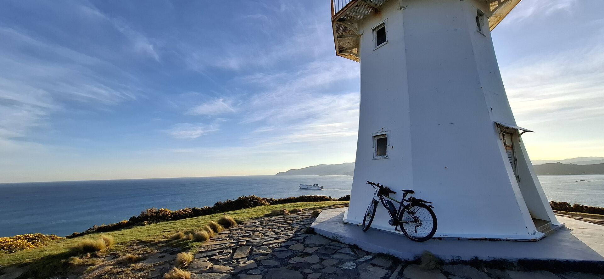
New Zealand’s first permanent lighthouse, erected in 1857. Mary Jane Bennett was the first and only female lighthouse keeper, earning an annual salary of just £125. The upper was deactivated in 1935, after being replaced by a new automated light at Baring Head.
Transport options
| Bus | The #81, #83, and #84 bus services all run to and from Days Bay, Eastbourne, and Burdan’s Gate. See the Metlink website for more info. |
| Ferry | Catch the East by West ferry from or to Days Bay. |