
Petone to Days Bay

This 8km route starts at the lovely Petone foreshore and takes you through the Hikoikoi Reserve with a small detour to a nice estuary by a group of boatsheds, before crossing over to Seaview via the Waione Bridge over the Hutt River, from where it follows the waterfront to Point Howard, where the wonderful Tupua Horo Nuku path takes you all the way to Days Bay.
Distance: 8km
🚶 Average walking time: 2 hours
🚲 Average cycling time: 45 minutes
Surface: footpaths, sealed shared paths, some on-road cycling
Route Map
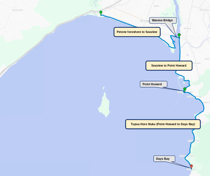
This route can be started at the Waione Bridge by Petone or at Days Bay.
Typical starting point is Days Bay (directions)
⛰ No hills
🚌 Easy bus and train access
☕ Cafe at Days Bay
🚻 Toilet and water facilities at Days Bay and Point Howard
Various swimming beaches
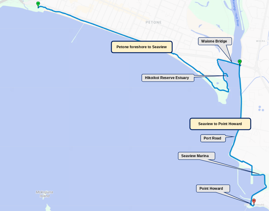
This first part of the route can be started anywhere along the Petone foreshore. There is a nice little detour to the estuary by the boatsheds at the river end of the Hikoikoi reserve. After the bridge, you will follow the Port Road to the Seaview marina; more info on that below.
icon name=”route”] Distance: 7½ km
🚶 Average walking time: 2 hours
🚲 Average cycling time: 30 minutes
Surface: shared paths
🚌 Bus to Petone
☕ Cafes in Petone or at the Seaview Marina
🚻 Toilet and water facilities at Hikoikoi Reserve and the Seaview Marina
Navigating the Seaview Marina

Cyclists and walkers will need to cross Port Road by the Marine supply shops just before the marina, and enter the marina itself at the next entrance (see photo below). Halfway down the wharf, turn left to follow the track along the water. Keep following the direction signs to get you to the marina boat ramp, from where you will need to follow the shared path along the fuel pipelines.

Points of Interest
Hikoikoi Reserve Estuary
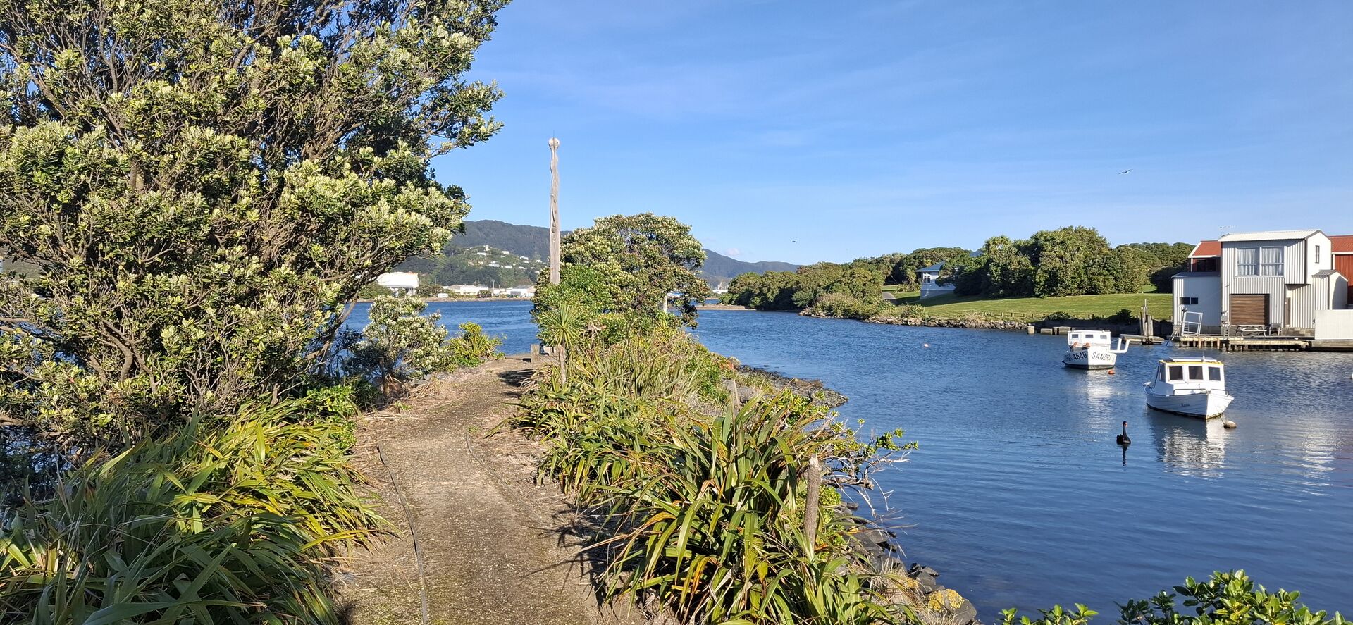
A nice spot by the Hikoikoi Reserve, with a wonderful Māori Pouwhenua (carved post).
Waione Bridge

A popular fishing spot. Don’t get tangled up in fishing lines on this narrow shared path.
Seaview Marina

Have a sip of water from our Great Harbour Way water fountain at the Seaview Marina.
Marina boatramp
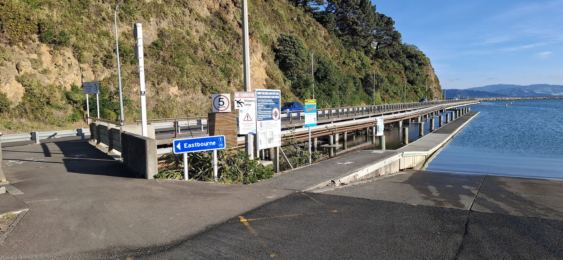
Take the narrow shared path along the fuel pipelines just past the boatramp.
Fuel lines shared path
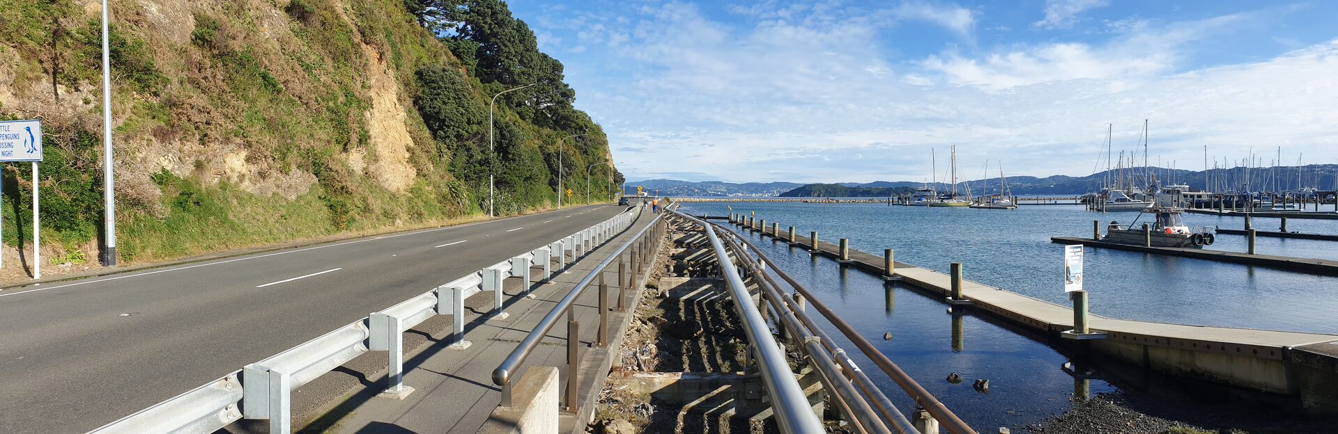
Not much space along this shared path, so cyclists need to slow down for walkers.
Point Howard Wharf
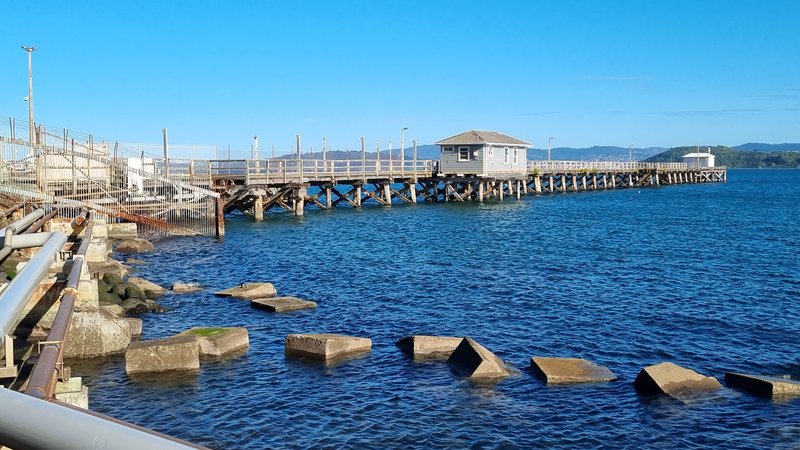
Built in 1929. These days used by fuel tankers and closed to the public.
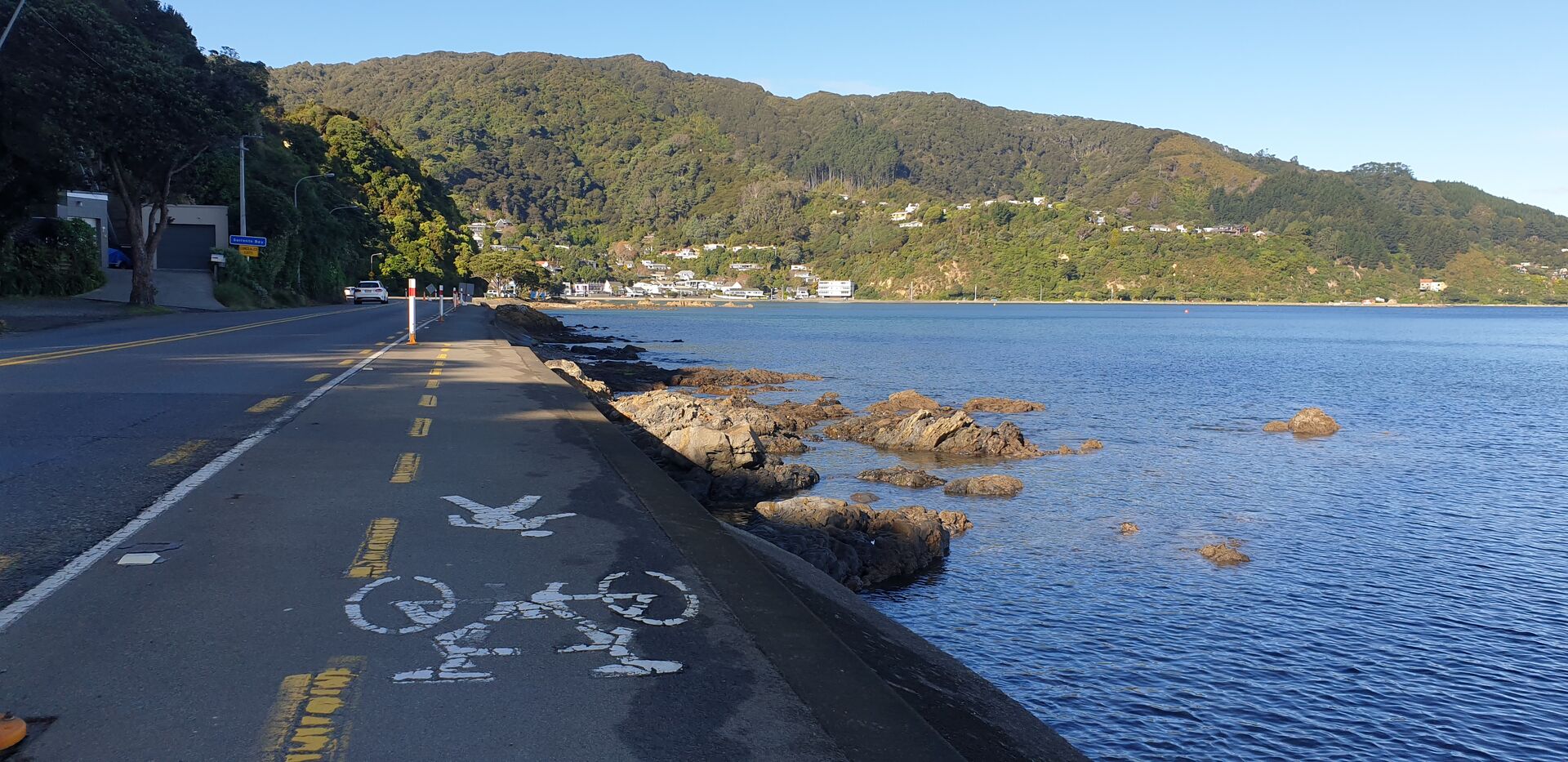
This second part of the route, the wonderful Tupua Horo Nuku path, runs between Point Howard and Days Bay. It goes along several beautiful bays and beaches. Sorrento Bay, York Bay and Days Bay are all very popular for swimming. You can explore some of the tracks that run up the lush green hills along this route.
icon name=”route”] Distance: 4 km
🚶 Average walking time: 1 hour
🚲 Average cycling time: 15 minutes
Surface: shared path, on-road cycling at Days Bay
🚌 Bus to Point Howard or Days Bay
☕ Cafes in Days Bay
🚻 Toilet and water facilities at Point Howard and Days Bay
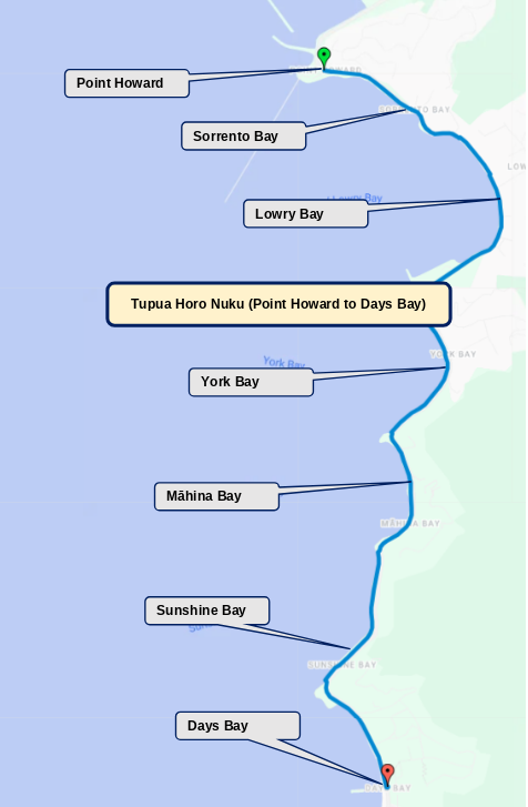
Navigating Days Bay
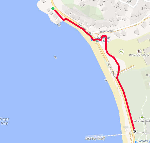
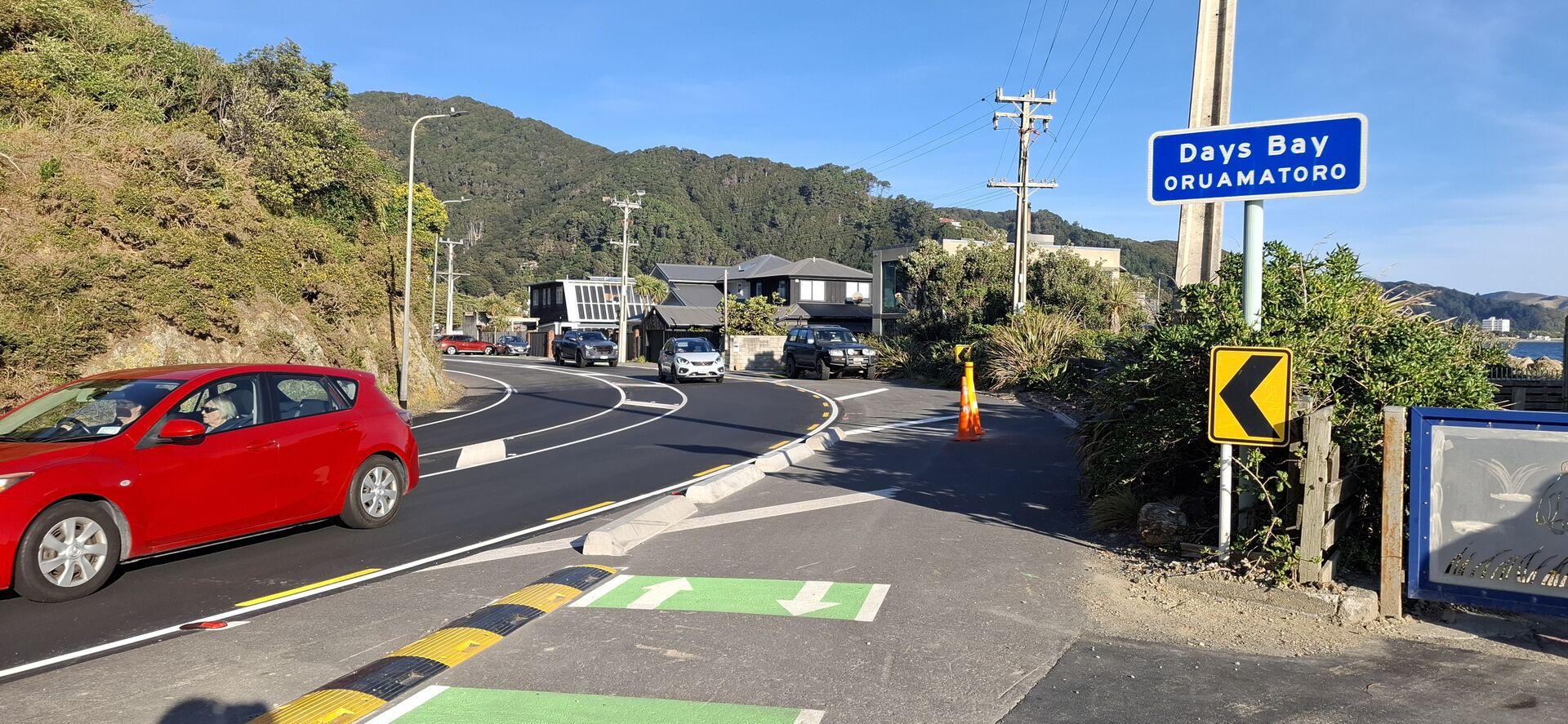
Currently, the Tupua Horo Nuke path finishes at Sunshine Bay. There are plans to extend the walking path, but for now people have to cross Marine Drive at Ferry Road and carry on to Days Bay on the hillside of the road.
Points of Interest
Sorrento Bay
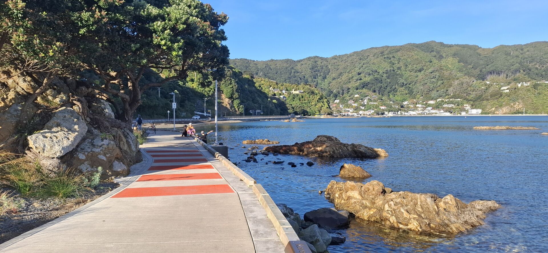
Point Howard is the first bay along the path and is a popular swimming beach. The Maori name for this point was Ngaumatau (“bite the fish hook”), and was renamed after Philip Howard, a member of parliament in the 1840s. Until the 1855 earthquake, the point was passable only at low tide, and travellers had to make a lengthy diversion over the summit. The earthquake raised a ledge, as it did around the entire harbour fringe, making travelling to, and settling the eastern bays a great deal easier.
Lowry Bay
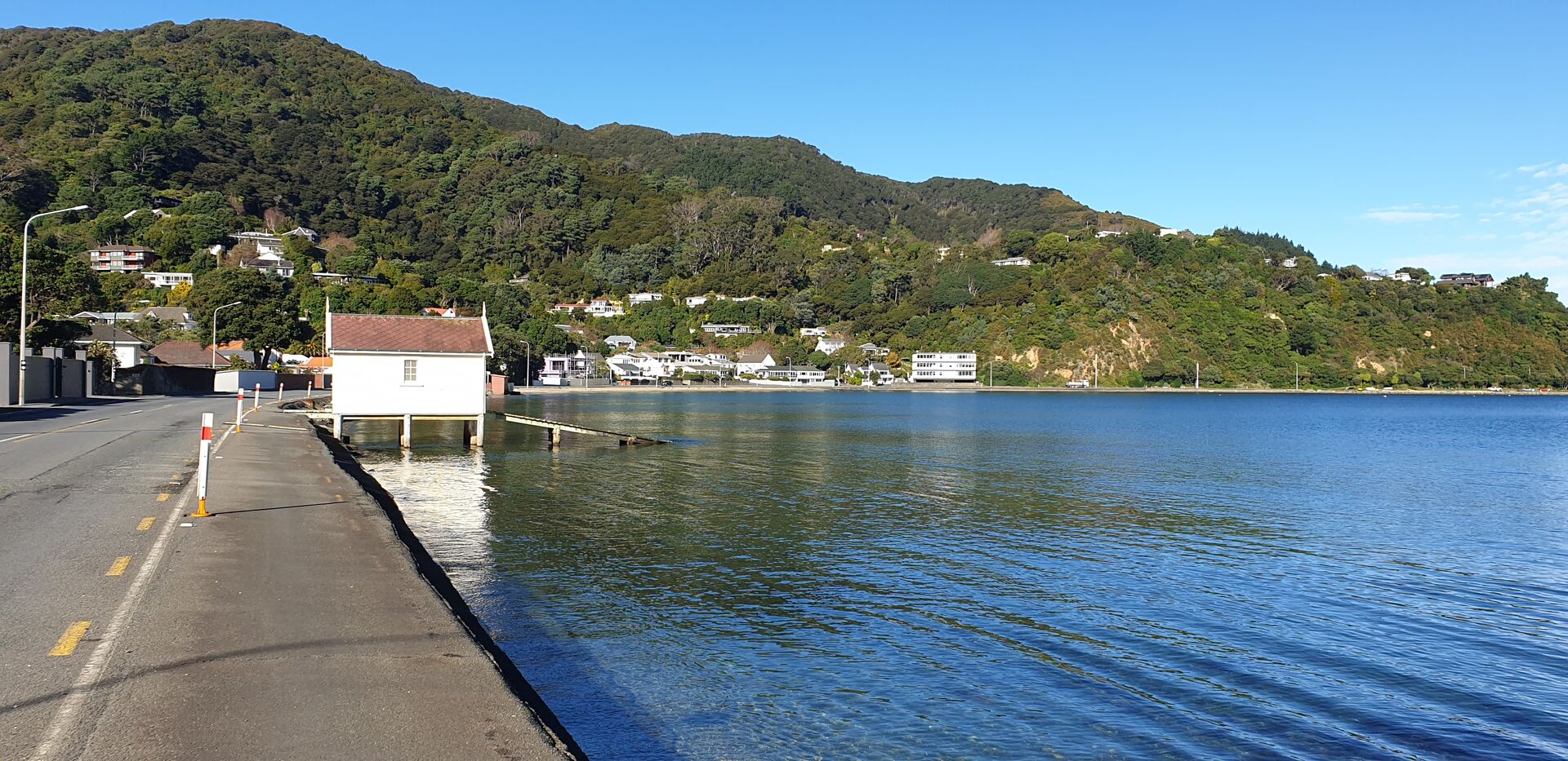
Named after Richard Lowry; a ship mate on the Tory – an early migrant ship. The Maori name for the bay was Whiorau (‘the place of many blue ducks’), and indeed this area was once a swamp. In the 1840s, though, in a not-unusual fashion, early European settlers drained the swamp, and set to with a box of matches, clearing much of the bush for pasture in a matter of a few years. The 1.5-metre uplift resulting from the 1855 earthquake further altered the landscape.
York Bay
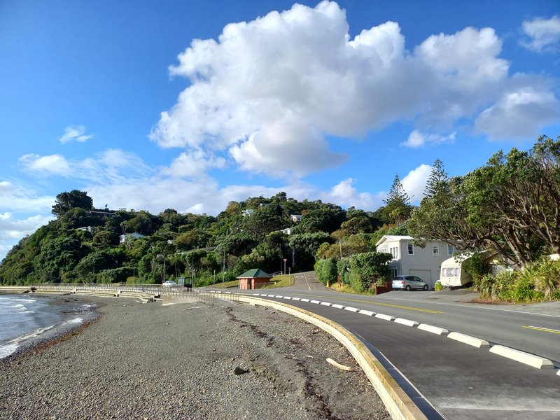
York Bay was first settled by two Yorkshire brothers who tried their hand at dairy farming. One of them, Frederick Crowther, was reputed to operate a whisky still, the produce of which he shipped across to Wellington: ‘striding up from the shore with a can in each arm – one containing milk, the other whisky’. Neither venture could have been particularly profitable, as the brothers soon left the bay. It wasn’t until the early 1900s that the bay was sub-divided by land agents and sold off in 72 lots.
Transport options
| Bus | The #81 and #83 bus will take you from Wellington to Petone or to Days Bay. |
| Ferry | Catch the East by West ferry from Queens Wharf at the Wellington Waterfront to Days Bay. |